Minnesota Department of Transportation

511 Travel Info

Hwy 287—Long Prairie

Fourth Ave. S, Todd County

Current impacts

Information tentative and subject to change

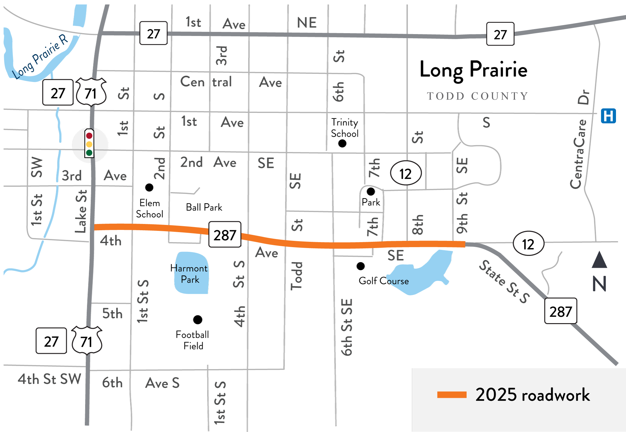
2025 roadwork location map on Hwy 287 in Long Prairie
Hwy 287 detour map in Long Prairie the week of June 9. Select image to enlarge (PNG)

Detour June 9-13

Work zone through mid-August

Overall, impacts will be minimal

Motorists

  • Lane or shoulder closures, lane shifts, use of flaggers
  • Hwy 287 open to two-way traffic; however, expect changes to access, gravel surfaces and no shoulders
  • Watch for pedestrians crossing Hwy 287, as both sides have homes, churches and parks

Pedestrians

  • Sidewalk closures, follow detour signs
  • Look both ways before crossing the road
  • Please stay out of closed areas

Long Prairie open

  • Access will be maintained and open to local residents, visitors and businesses. Watch for alternate or temporary entrances

About this project

MnDOT will resurface and improve about one-mile of Hwy 287 (Fourth Ave. S) in Long Prairie, includes pedestrian updates.

2025 roadwork location map on Hwy 287 in Long Prairie
Hwy 287 work location map between Hwy 71 (Lake St.) and just east of Ninth St. SE. Select image to enlarge (PNG)

Summary of work

  • Resurface road (mill and overlay asphalt)
  • Update storm drainage, includes underground pipe at First St. S and curb and gutters
  • Upgrade and widen pedestrian sidewalks and approaches
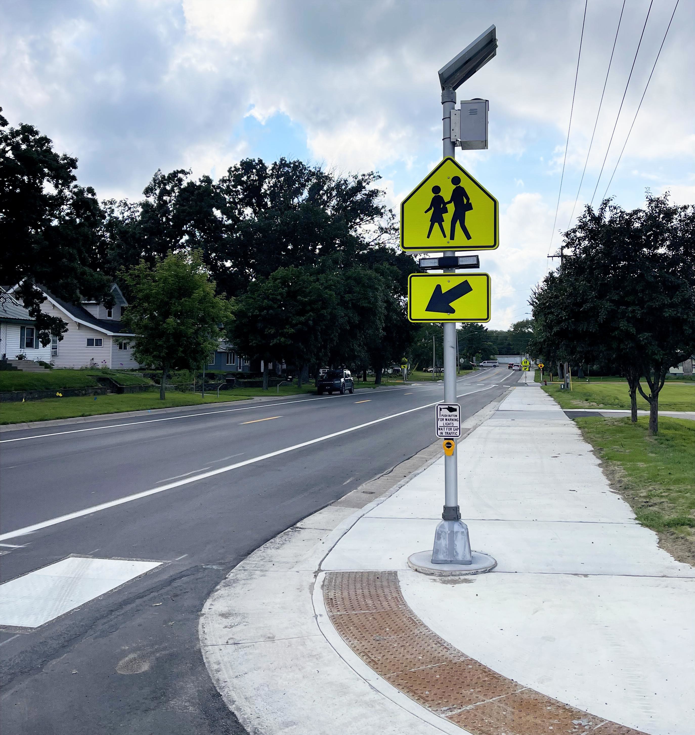
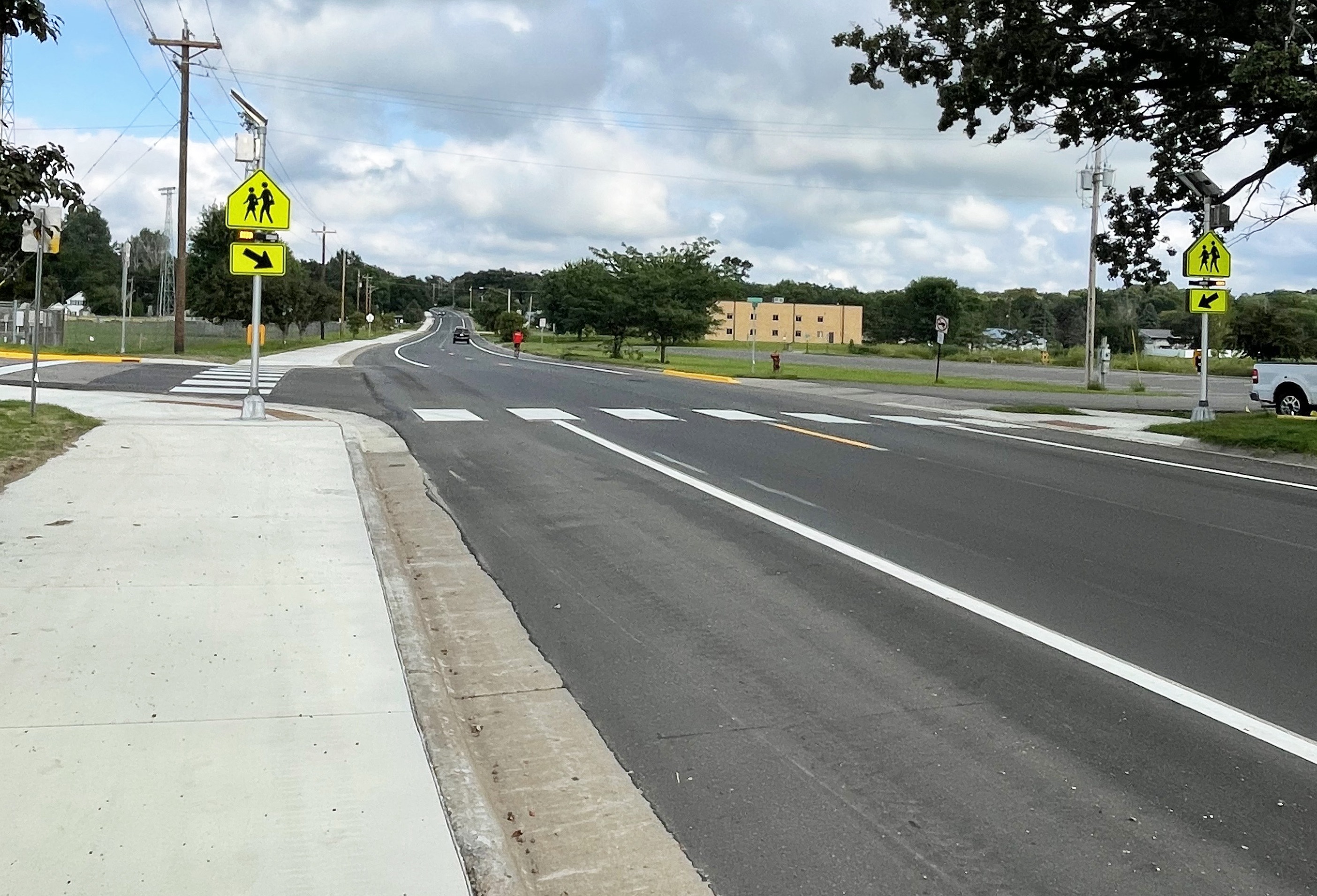
  • Install new pedestrian flasher signals at:
    • Hwy 287 and First St S, west of the elementary school
    • Hwy 287 and Second St S, east of the elementary school to Harmony Park
  • Install new reflective pavement markings
  • Make other repairs as needed